Space And Satellite Museum And Gallery · Declassified Satellite Imagery
Dudinka, USSR 1966

Download Full-Size Original View The Source Page


The full-size original (3,472 × 2,604 pixels) downloads from the source, not from this site.
Rate This Image
No ratings yet.
Share
Comments
Related Images
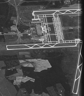 D3C1219-300947F002 B (51844091678)
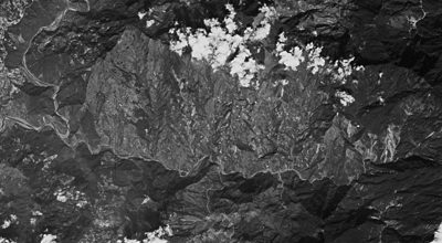 DZB1211-500140L016001 South Ailiao River
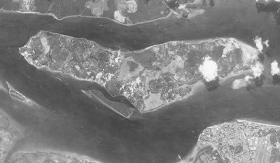 Pulau Ubin 19650327 DS1018-1022DA052 c
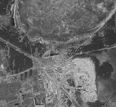 D3C1208-100051A014 Yekaterinburg Peski1
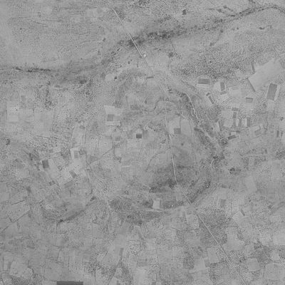 Kgagodi Crater D3C1219-200530A011
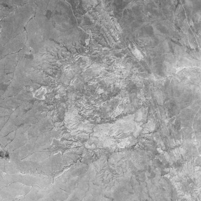 Luizi Crater DZB1206-500017L010001
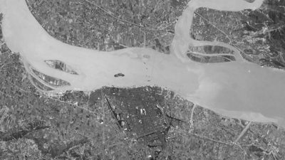 Wenzhou 1965-05-03
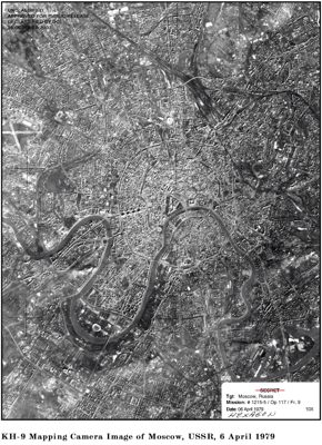 Moscow KH-9 1979
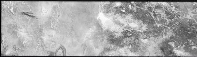 Baikonur Cosmodrome Imaged By KH-4B On 1968-11-06 - DS1105-1040DF010 A
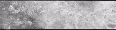 Baikonur Cosmodrome Imaged By KH-4B On 1968-11-06 - DS1105-1040DF010 B
No comments yet.